Search
Search Results

- Subject:
- Indian reservations
- Creator:
- Murray, C.
- Language:
- eng
- Date Created:
- July 1861,September 1859,May 31, 1862,May 1861,June 1861
- Rights Statement:
- No Copyright - Non-Commercial Use Only
- Resource Type:
- Still Image
- Identifier:
- LSV Number: 17T1LR and 107102
- Extent:
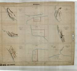
- 1 sheet ; 68 x 82 cm
- Geographic Coverage:
- British Columbia--Coquitlam River, British Columbia--Fraser River, North America--Strait of Georgia Region, and British Columbia--Anderson River
- Coordinates:
- 49.23297, -122.80262, 49.83303, -121.43585, 49.11636, -123.18594, and 49.18296, -123.23595
- Additional Physical Characteristics:
- Scale: Six Inches to One Statute Mile
- Physical Repository:
- Land Title and Survey Authority of British Columbia
- Collection:
- Land Title and Survey Authority of British Columbia: Early British Columbia Maps
- Provenance:
- Surveyor General of BC, Legal Surveys Vault
- Provider:
- University of Victoria (B.C.). Library
- Genre:
- maps (documents), relief maps, and historical maps
- Date Digitized:
- 2011-09-30
- Technical Note:
- Cataloguing metadata: Provided by the LTSA and adapted by the University of Victoria Libraries to their requirements.