Search
Search Results
- Alternative Title:
- Victoria Harbour
- Subject:
- Boundaries
- Creator:
- Kellett, Henry, 1806-1875
- Contributor:
- Great Britain. Hydrographic Office
- Publisher:
- J. & C. Walker
- Language:
- eng
- Date Created:
- 1775 to 1866
- Rights Statement:
- In Copyright - Educational Use Permitted
- Resource Type:
- Still Image
- Identifier:
- Penfold Number: 577
- Extent:
- 1 sheet
- Geographic Coverage:
- British Columbia--Victoria Harbour, United States, and Canada
- Coordinates:
- 60.10867, -113.64258, 48.4165, -123.39681, and 39.76, -98.5
- Chronological Coverage:
- 1847
- Physical Repository:
- National Archives (Great Britain)
- Collection:
- Early BC Maps Collection
- Provenance:
- National Archives of the UK
- Provider:
- University of Victoria (B.C.). Library
- Genre:
- historical maps and maps (documents)
- Archival Item Identifier:
- National Archives Number: FO925-1650 pt1 (24)
- Date Digitized:
- 2010-04-12
- Technical Note:
- Watermarks added to images by KM, JF, and CDW. Metadata by SC, May 11, 2010. and 600 dpi jpg
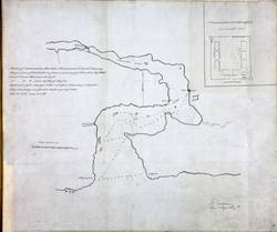
- Alternative Title:
- Cammusan Harbour (Victoria Harbour), British Columbia
- Subject:
- Harbors and Nautical charts
- Creator:
- Vavasour, Mervin
- Contributor:
- Scarboro, J.
- Language:
- eng
- Date Created:
- 1845?
- Rights Statement:
- In Copyright - Educational Use Permitted
- Resource Type:
- Still Image
- Identifier:
- Penfold Number: 555
- Extent:
- 1 sheet
- Geographic Coverage:
- British Columbia--Victoria, British Columbia, and British Columbia--Victoria Harbour
- Coordinates:
- 48.4165, -123.39681, 48.4359, -123.35155, and 53.99983, -125.0032
- Chronological Coverage:
- 1845
- Additional Physical Characteristics:
- 1:7160
- Physical Repository:
- National Archives (Great Britain)
- Collection:
- Early BC Maps Collection
- Provenance:
- National Archives of the UK
- Provider:
- University of Victoria (B.C.). Library
- Genre:
- maps (documents) and historical maps
- Archival Item Identifier:
- National Archives Number: MPHH1-459 (3)
- Date Digitized:
- 2010-04-22
- Technical Note:
- Watermarks added to images by KM, JF, and CDW. Metadata by JTP May 3, 2010. and 600 dpi jpg
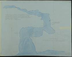
- Alternative Title:
- Cammusan Harbour (Victoria Harbour), British Columbia
- Subject:
- Nautical charts and Harbors
- Creator:
- Vavasour, Mervin
- Contributor:
- Scarboro, J.
- Language:
- eng
- Date Created:
- 1846?
- Rights Statement:
- In Copyright - Educational Use Permitted
- Resource Type:
- Still Image
- Identifier:
- Penfold Number: 556
- Extent:
- 1 sheet
- Geographic Coverage:
- British Columbia--Victoria, British Columbia, and British Columbia--Victoria Harbour
- Coordinates:
- 53.99983, -125.0032, 48.4165, -123.39681, and 48.4359, -123.35155
- Chronological Coverage:
- 1846
- Additional Physical Characteristics:
- 1:7160
- Physical Repository:
- National Archives (Great Britain)
- Collection:
- Early BC Maps Collection
- Provenance:
- National Archives of the UK
- Provider:
- University of Victoria (B.C.). Library
- Genre:
- maps (documents) and historical maps
- Archival Item Identifier:
- National Archives Number: MPK1-59 (10)
- Date Digitized:
- 2010-04-22
- Technical Note:
- 600 dpi jpg and Watermarks added to images by KM, JF, and CDW. Metadata by JTP May 3, 2010.