- Description:
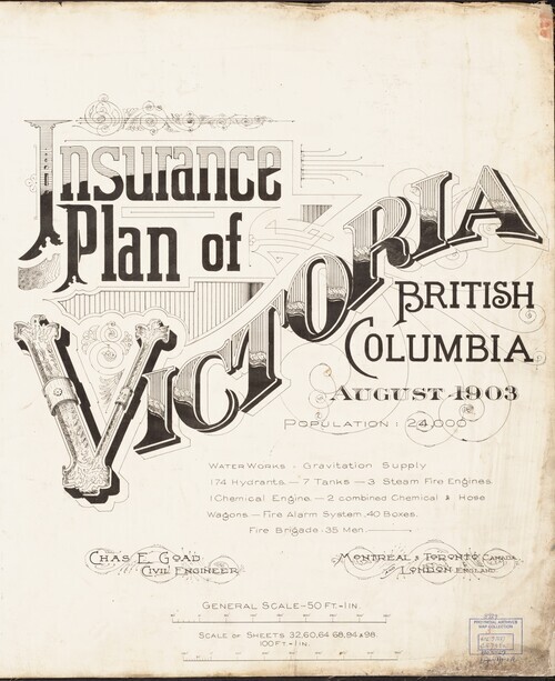
- The Fire Insurance Plans (FIPs) from 1885 to 1916 are undoubtedly the best maps of Victoria for the period.
Created by Charles E. Goad and Company to assist insurance underwriters in determining fire insurance risk these coloured maps show the developing...
- Subject
- Local History and Architecture
- Location
- Victoria, British Columbia, Canada
- Resource Type
- Collection
- Genre
- maps (documents) and historical maps