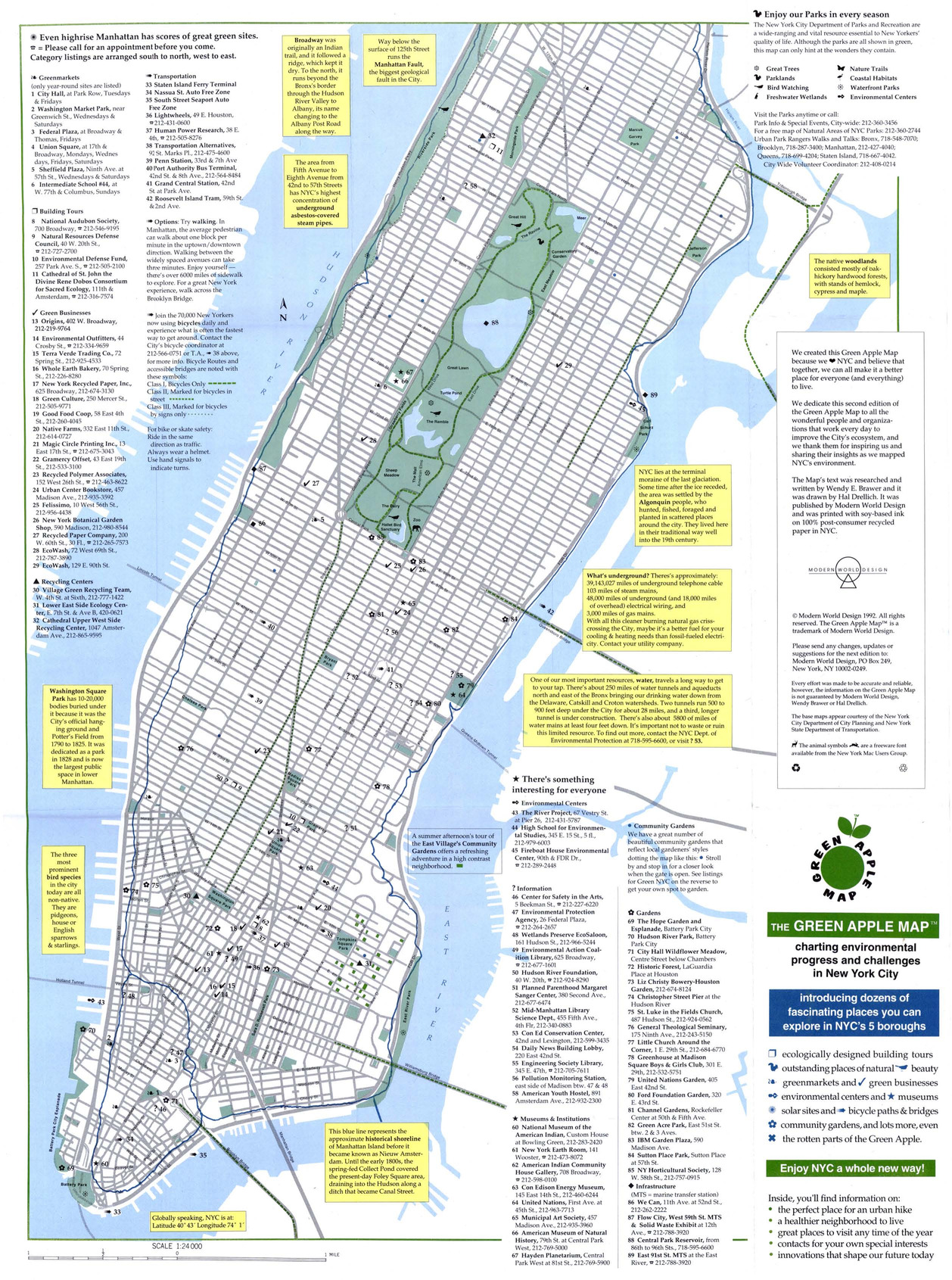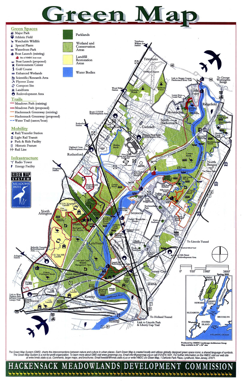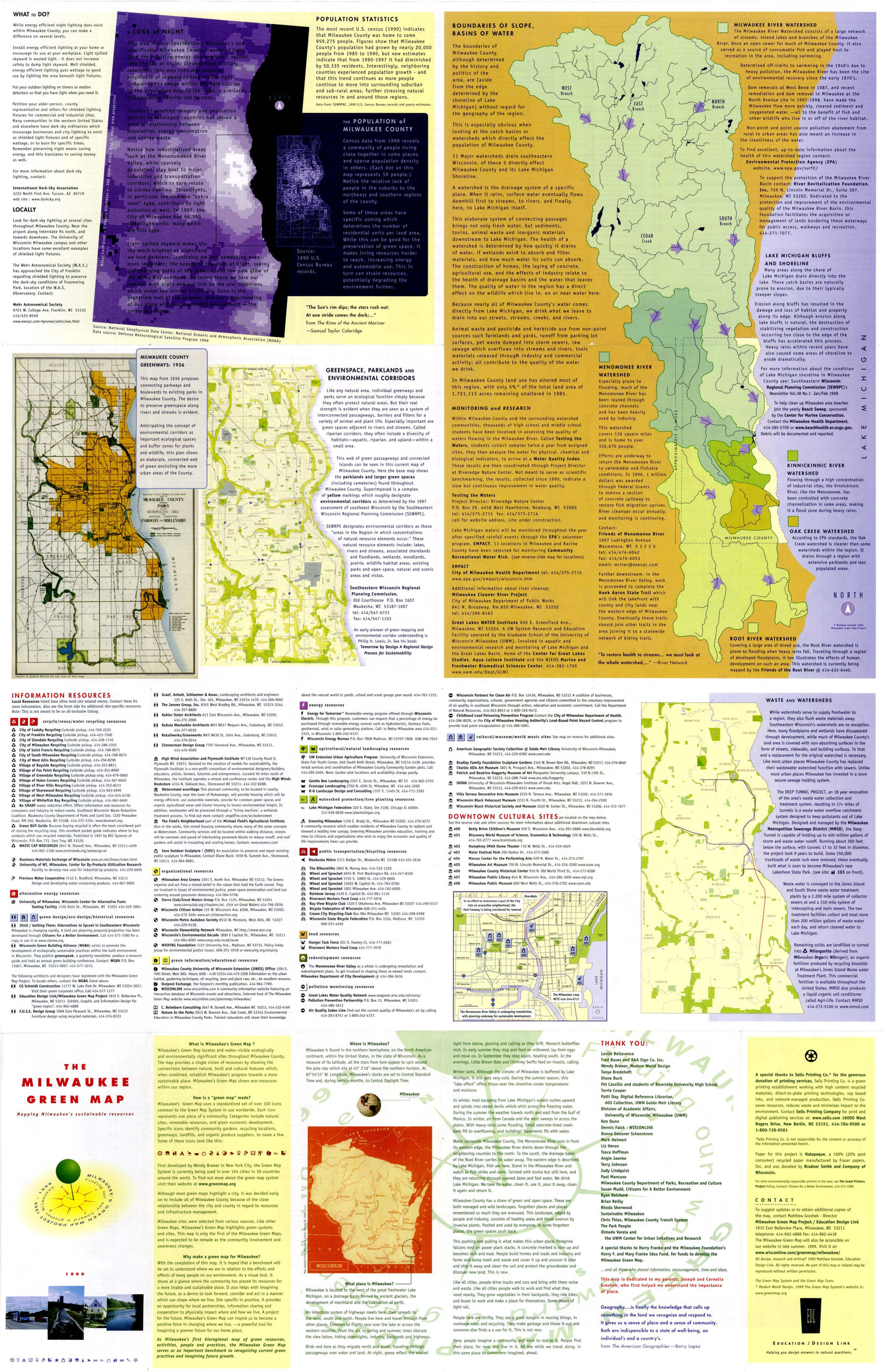
Green Map System has engaged communities in 65 countries in mapping green living, nature and culture with adaptable tools and award-winning icons. This collection includes a variety of these maps, received as digital files.
Since 1995, the Green Map System has promoted inclusive participation in sustainable community development worldwide, using mapmaking as the medium. Green Map System has been developed collaboratively and the movement has spread to over 845 cities, towns and villages in 65 countries.
Locally-led Green Map projects create perspective-changing community ‘portraits’ which act as comprehensive inventories for decision-making and as practical guides for residents and tourists. Mapmaking teams pair adaptable tools and universal iconography with local knowledge and leadership as they chart green living, ecological, social and cultural resources.
Over 500 unique, vibrant Green Maps have published to date, and another 325 are interactive Open Green Maps. Hundreds more have been created in classrooms and workshops by youth and adults. Both the mapmaking process and the resulting Green Maps have tangible effects that:
- Strengthen local-global sustainability networks
- Expand the demand for healthier, greener choices
- Help successful initiatives spread to even more communities
These maps have been provided by Green Map Systems for research purposes. The Green Map Systems number refers to an internal catalog number for each map.
More information about the Green Map System can be found here: https://www.greenmap.org/
Permalink: https://vault.library.uvic.ca/collections/d7556b24-24a0-4ce2-8c2f-0533aa389de2


