Search Constraints
Filtering by:
Location
Victoria, British Columbia, Canada
Remove constraint Location: Victoria, British Columbia, Canada
Genre
maps (documents)
Remove constraint Genre: maps (documents)
1 - 5 of 5
Number of results to display per page
Search Results
-
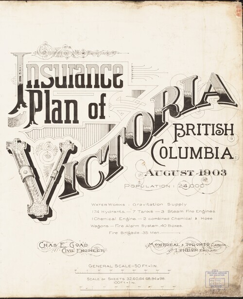
Victoria Fire Insurance Plans
User Collection 1Collections5WorksDescription:The Fire Insurance Plans (FIPs) from 1885 to 1916 are undoubtedly the best maps of Victoria for the period. Created by Charles E. Goad and Company to assist insurance underwriters in determining fire insurance risk these coloured maps show the developing...Subject:Local History and ArchitectureLocation:Victoria, British Columbia, CanadaResource Type:CollectionGenre:maps (documents) and historical maps
 -
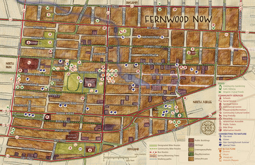
Community Mapping Project
User Collection 1Collections14WorksDescription:This collection consists of digital versions of several print community maps produced through a collaborative process between various community groups and the Common Ground Community Mapping Project and later with the Community Mapping Collaboratory (CMC) at the...Subject:Local HistoryLocation:Victoria, British Columbia, CanadaResource Type:CollectionGenre:maps (documents)
 -
Frank and Cecilia Sylvester Collection
User Collection 1Collections56WorksDescription:This collection includes a selection of early Victoria and Vancouver Island maps, books, pamphlets and ephemera, together with archival material drawn from the Sylvester fonds. Frank Sylvester was an early Jewish settler to Victoria, involved in the Fire Department and...Subject:Families and Local HistoryLocation:Victoria, British Columbia, CanadaResource Type:CollectionGenre:pamphlets, books, and maps (documents)
 -
Hudson's Bay Company Maps
User Collection 1Collections101WorksDescription:The Hudson's Bay Company had the exclusive right to trade with First Nations in what is now British Columbia throughout most of the Nineteenth Century. These 100 maps provide a graphic view of the development of the Province from 1842 until the 1860’s when the company’s...Subject:Local HistoryLocation:Vancouver Island, British Columbia, Canada, Victoria, British Columbia, Canada, and British Columbia, British Columbia, CanadaResource Type:CollectionGenre:historical maps and maps (documents)
 -
 2Collections536WorksDescription:This digital collection includes scans of a selection of maps, sketches, tracings and notes created between 1846 and 1895 and held by the Surveyor General of BC. All relate to land use, landforms, and surface cover across the province of BC and record geographic features,...Subject:Local HistoryLocation:Victoria, British Columbia, Canada and British Columbia, British Columbia, CanadaResource Type:CollectionGenre:historical maps and maps (documents)