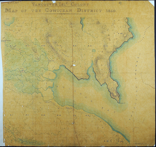
These maps, from the National Archives of the UK, primarily span the dates 1846-1876 and show the development of the territory from the two founding colonies until after the Province joined confederation. A few earlier maps were collected by the Colonial Office in response to the San Juan dispute and these are also included.
Permalink: http://vault.library.uvic.ca/collections/667ca6ed-c872-4162-9a5f-7180ad5a1b65
Works (248)
| Title | Date Created | Date Added | |
|---|---|---|---|
|
|
1866 | 2020-07-23 | |
|
|
1866 | 2020-07-23 | |
|
|
1866 to 1871 | 2020-07-23 | |
|
|
1867 to 1879 | 2020-07-23 | |
|
|
1871 | 2020-07-23 | |
|
|
1871 to 1872 | 2020-07-23 | |
|
|
1871 | 2020-07-23 | |
|
|
1871 to 1872 | 2020-07-23 | |
|
|
1871 | 2020-07-23 | |
|
|
1871 to 1872 | 2020-07-23 |